GreenGPS
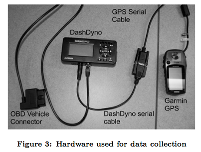
GreenGPS targets to provide a map of the least fuel-consuming routes to drivers. The fuel consumption is measured via specific sensors accessing the gauges and instrumentation of the vehicles, and […]

GreenGPS targets to provide a map of the least fuel-consuming routes to drivers. The fuel consumption is measured via specific sensors accessing the gauges and instrumentation of the vehicles, and […]
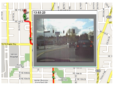
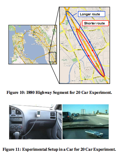
The concept of Virtual Trip Lines targets to replace these conventional monitoring solutions by smartphones mounted within vehicles. Instead of deploying costly monitoring infrastructure, the locations of street segments of […]
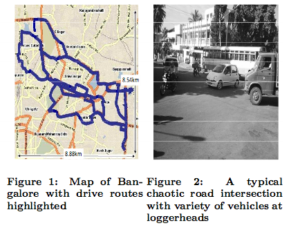
In Nericell the embedded accelerometer, microphone, and positioning system are used to detect and localize traffic conditions and road conditions, e.g., potholes, bumps, or braking and honking (which are both implicit […]
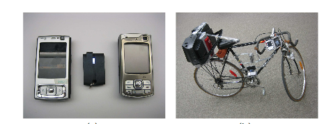
MetroTrack is a system capable of tracking mobile events using off-the-shelf mobile phones. While the proof-of-concept prototype implementation of MetroTrack focused on tracking a mobile audio source, we believe that […]
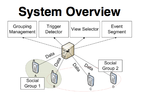
With MoVi the mobile phones collectively sense the surrounding ambiance to detect precursor signs (e.g., outburst of laughter, moves in the same directions) of relevant social events (e.g., speeches) and […]
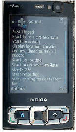
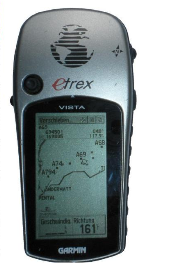
Ikarus is a participatory sensing application for paraglider pilots. It collects information about thermal columns, which are used by pilots to gain in altitude during their flights. Ikarus is based […]
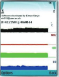
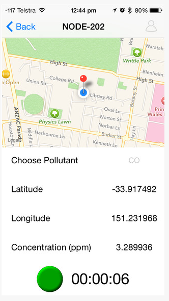
PollutionSpy application aims to monitor air pollution in traffic by using mobile phones to create a “pollution map” of Cambridge, England. It also promotes social networking in a local community through the provision […]
